 Click on image to enlarge. | Get Your Maps of Mercury!Release Date: April 13, 2010 Topics: Mosaics, Pantheon Fossae |
Instrument: Narrow Angle Camera (NAC) of the Mercury Dual Imaging System (MDIS)
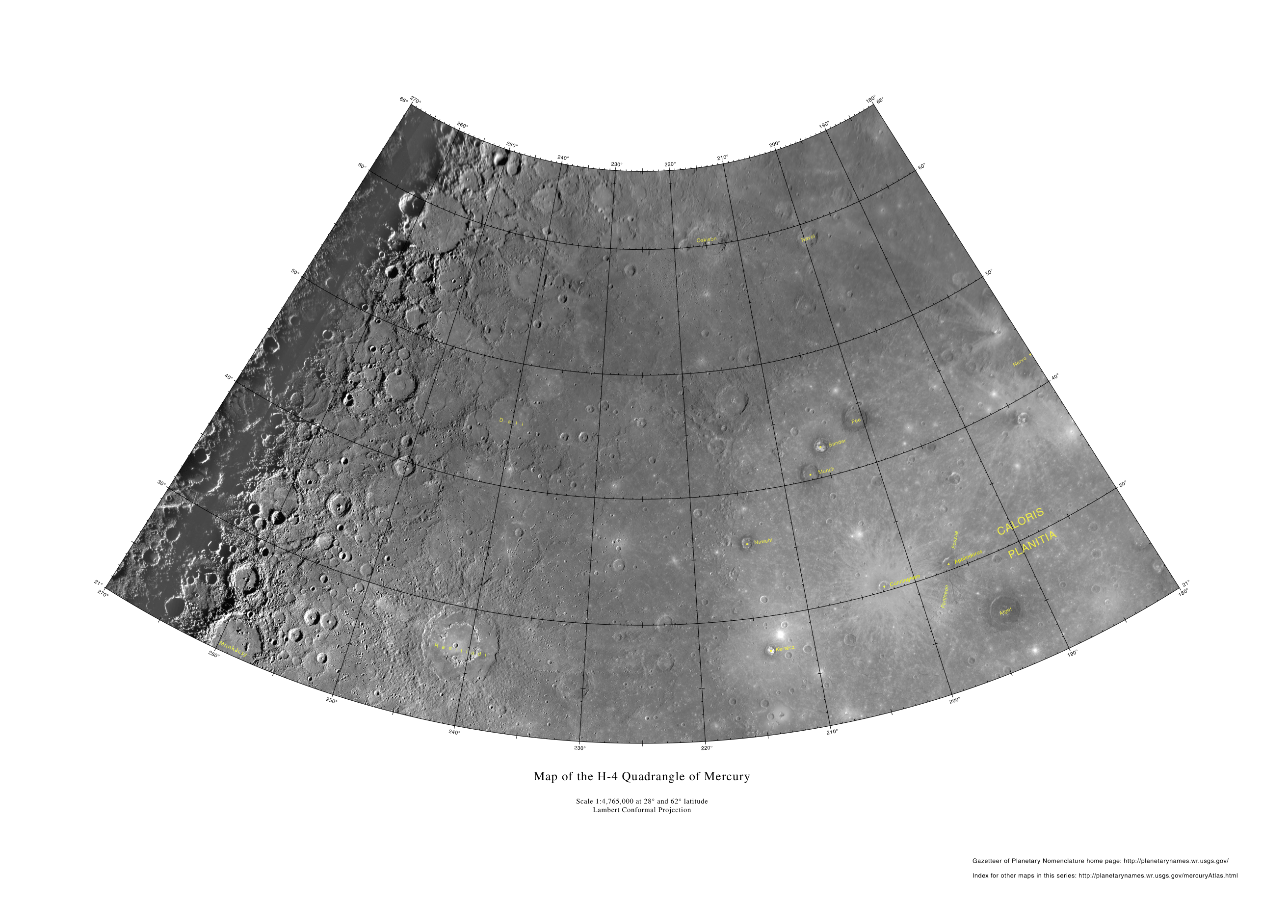
Scale: Raditladi basin at 27°N, 119°E (241°W) is 257 kilometers (160 miles) in diameter
Map: Produced by the United States Geological Survey (USGS) Astrogeology Team in Flagstaff, Arizona
Of Interest: By visiting the USGS Maps of Mercury website, you can download the latest maps of Mercury's surface. The maps were created from the global Mercury mosaic released to the public last December, which incorporated images from both the Mariner 10 and MESSENGER missions. As features are newly named on Mercury's surface, the maps are updated. In total, 15 "quadrangle" maps cover Mercury's surface, one of which is shown here in reduced size. Visible on this specific map are such features as the great Caloris basin, with the radiating troughs of Pantheon Fossae, the young Raditladi basin, the flooded crater Dali, and the neighboring craters Poe, Sander, and Munch with distinctive dark and bright materials. More information about this set of maps is available at this USGS website.
Credit: U. S. Geological Survey
For information regarding the use of MESSENGER images, see the image use policy.