 Click on image to enlarge. | In Focus: Cahokia VallisRelease Date: May 7, 2013 |
Date Created: March 26, 2013
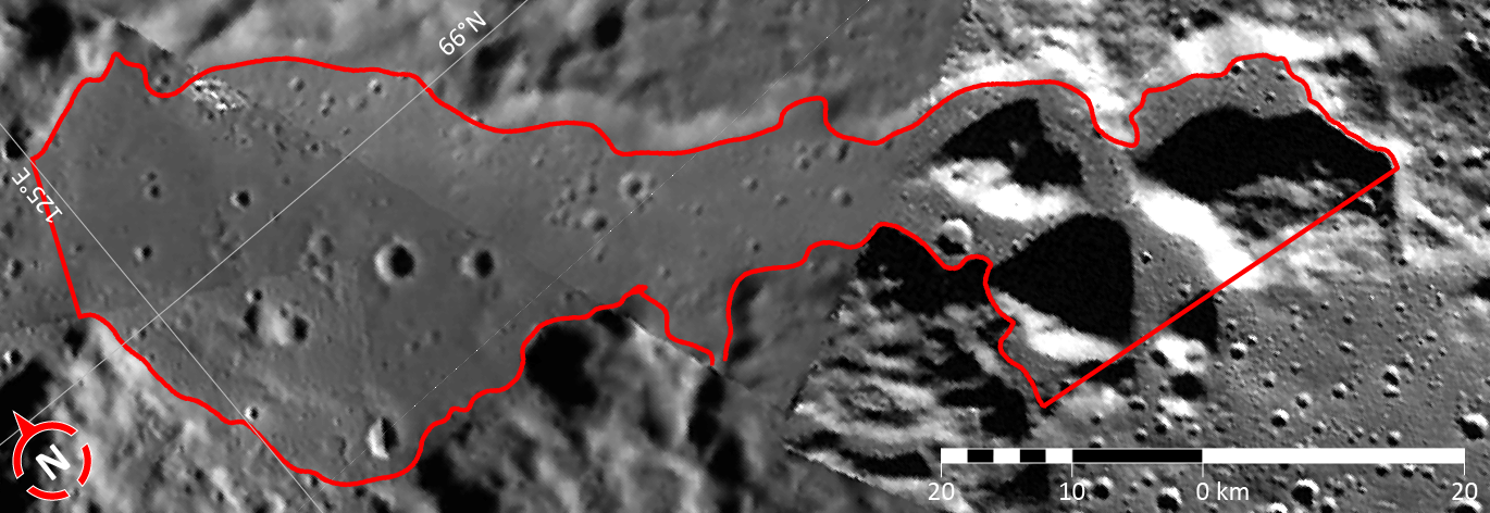
Instrument: Wide Angle Camera (WAC) of the Mercury Dual Imaging System (MDIS)
Feature Latitude Range: 64.9° N to 66.7° N
Feature Longitude Range: 124.4° E to 128.5° E
Feature Diameter: 77 km
Projection: Azimuthal equidistant
Of Interest: This image shows the second of five broad channels on Mercury for which names were recently approved. The valleys are named according to the theme of "abandoned cities (and towns and settlements) of antiquity" that was developed especially for these landforms.
The vallis shown in this figure is named for Cahokia Mounds, a Native American city that was the largest urban settlement in Mississippian culture (approx. 800–1500 CE). Cahokia contained hundreds of earthen mounds that supported the city's buildings. At its peak, the city may have been home to between 6,000 and 40,000 inhabitants. This image is a portion of the MDIS global mosaic basemap that was acquired during MESSENGER's first year in orbit.
The MESSENGER spacecraft is the first ever to orbit the planet Mercury, and the spacecraft's seven scientific instruments and radio science investigation are unraveling the history and evolution of the Solar System's innermost planet. During the first two years of orbital operations, MESSENGER acquired over 150,000 images and extensive other data sets. MESSENGER is capable of continuing orbital operations until early 2015.
Credit: NASA/Johns Hopkins University Applied Physics Laboratory/Carnegie Institution of Washington
For information regarding the use of MESSENGER images, see the image use policy.