Data at your Fingertips
Below are several layers of data collected over time for Mercury from various sources and instruments including the Arecibo Observatory in Puerto Rico ("radar-bright" data), Mariner 10 fly-by data, and MESSENGER orbital data. You can print the indidvidual data layers on transparency paper . Once printed, these transparencies can be stacked on top of one another in various arrangements to show how the story of water-ice on Mercury unfolded in small chapters over decades. Attention Teachers! This lesson plan helps you explore these data layers and the water-ice discovery in the classroom.
Mariner 10 Flyby Mosaic
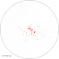
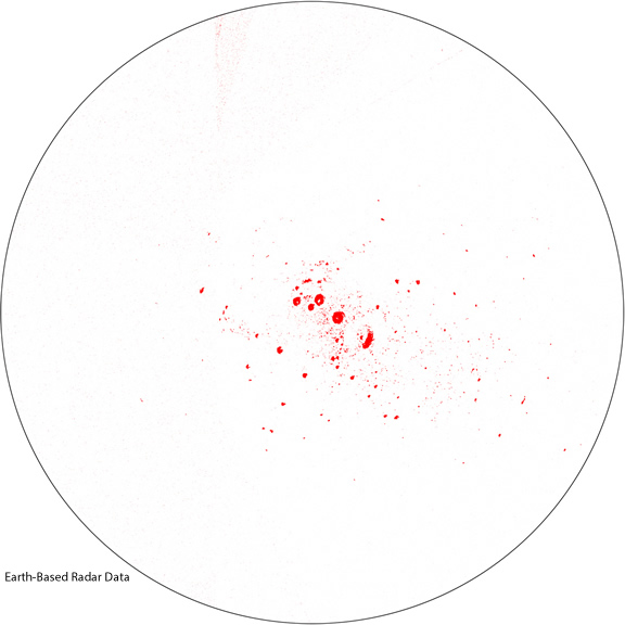
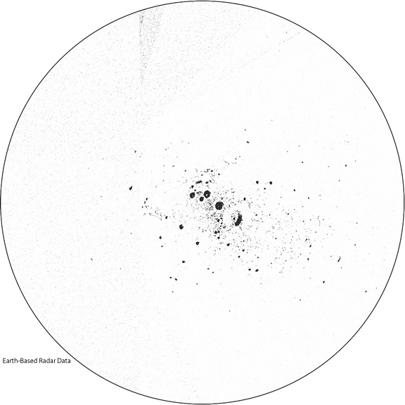
Earth-Based Radar Data
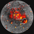
Radio astronomers from the Arecibo Observatory captured this Earth-based data revealing Mercury has radar-bright materials at its poles. These materials have radar characteristics that are best matched elsewhere in the solar system by water ice: radar-bright materials shown in red, radar-bright materials shown in black. (NOTE: depending on the order in which you layer the data, one color might stand out better than the other.)

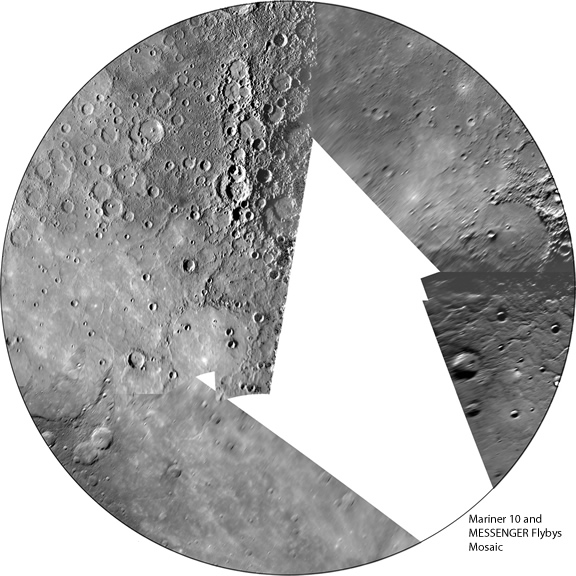
Mariner 10 and MESSENGER Flyby Images
During the 6.5 year journey from Earth to orbit about Mercury, the MESSENGER spacecraft flew past Mercury 3 times. During these flybys the spacecraft was near the equator, so only some of the north polar region was photographed: Mariner 10 and MESSENGER flyby images.

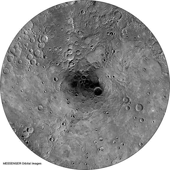
MESSENGER Orbital Images
On March 18, 2011, MESSENGER became the first spacecraft to orbit Mercury! With that remarkable feat came mountains of data, including imaging coverage of 100% of the planet: MESSENGER orbital images.
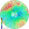
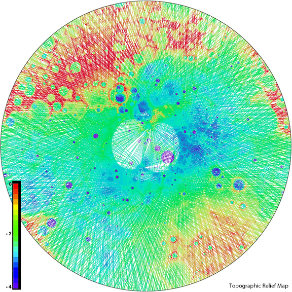
Mercury Laser Altimeter Topographic Data
Along with spectacular images of Mercury, MESSENGER collects data from several other instruments, including the Mercury Laser Altimeter (MLA). The MLA instrument maps the surface of Mercury, producing a topographic map: MLA topography data.
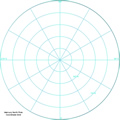
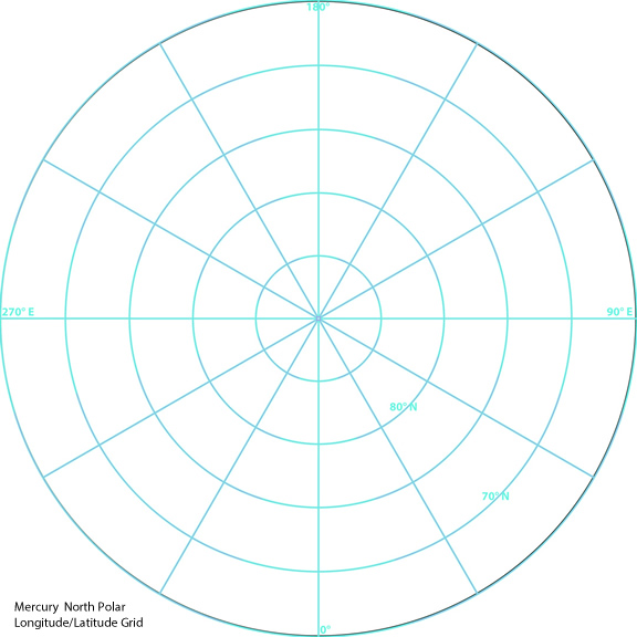
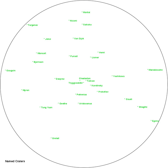
North Polar Coordinate Grid and Mercury Crater Names
Two tools that might help you get your bearings on Mercury’s north polar region are: north pole coordinate grid, crater names.

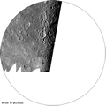
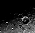
The Mariner 10 spacecraft flew by Mercury 3 times in 1974 and 1975, capturing these images of the north polar region: Mariner 10 flyby mosaic.